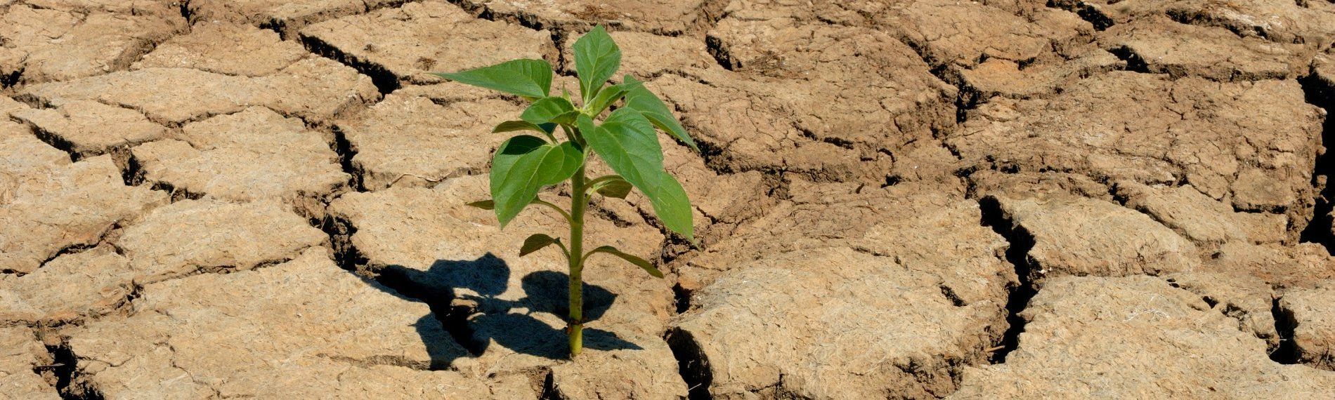
Catchment Modelling
Modelling of hydrological catchments for the purposes of defining average and low-flow conditions, as well as the impact of land use change.

Since establishing our consultancy in 2012, we have built a reputation for transforming complex water challenges into clear, sustainable solutions. Our comprehensive hydrological consulting services bridge innovation with practical implementation across diverse sectors and environments.
We welcome every opportunity to collaborate with clients in developing effective, tailored solutions.
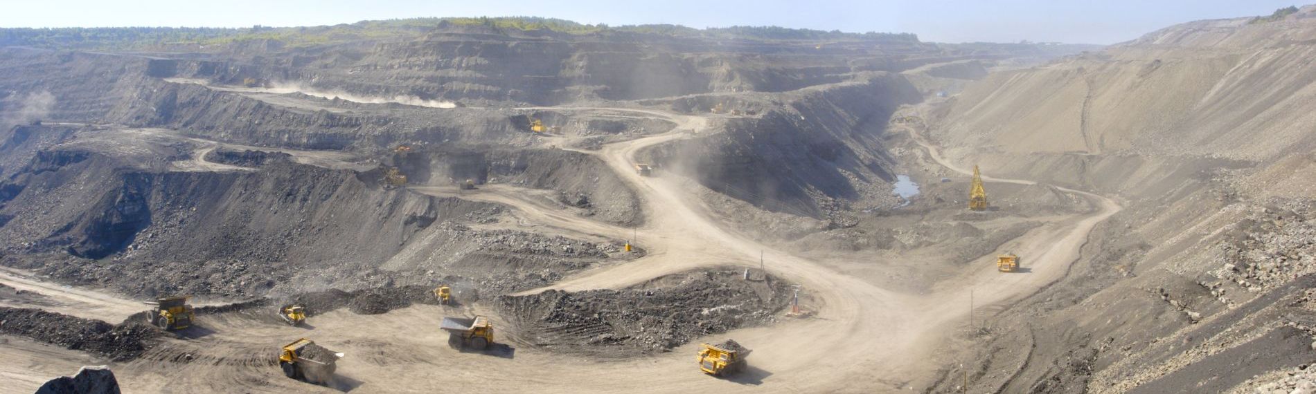
Agriculture, mining, oil/gas, renewables, transport and urban management
Extensive projects throughout South Africa and abroad
Including professional partnerships and independent delivery


Modelling of hydrological catchments for the purposes of defining average and low-flow conditions, as well as the impact of land use change.
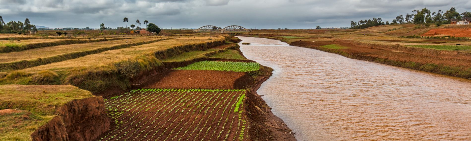
Catchment delineation, flood peak and hydrograph estimates, using a variety of techniques as input into Hydraulic (flood-line) Modelling.
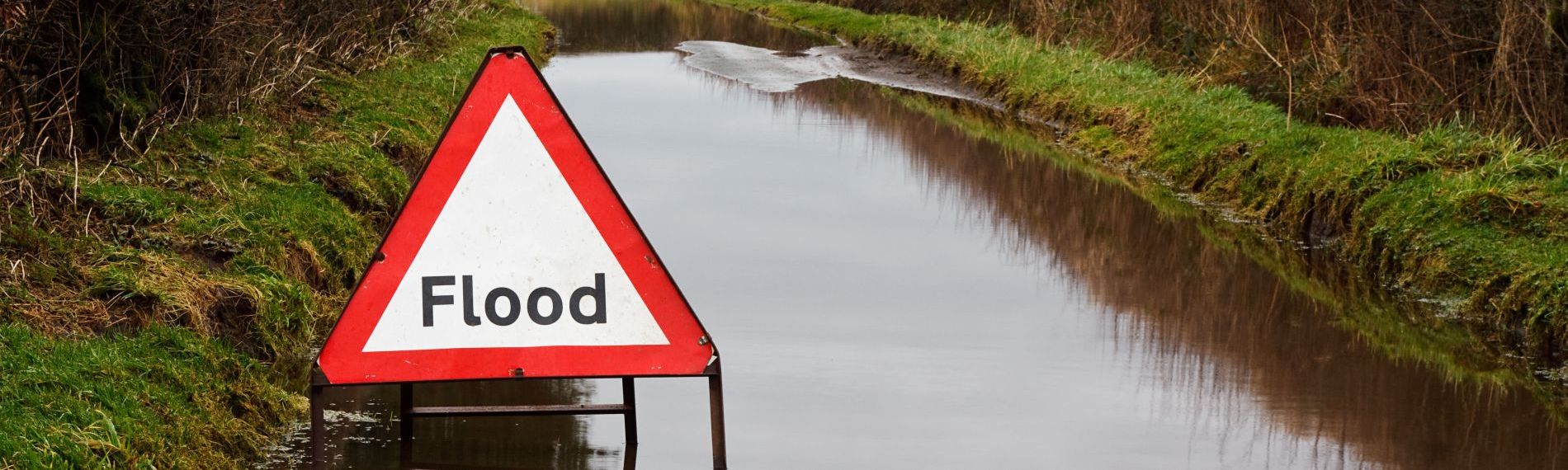
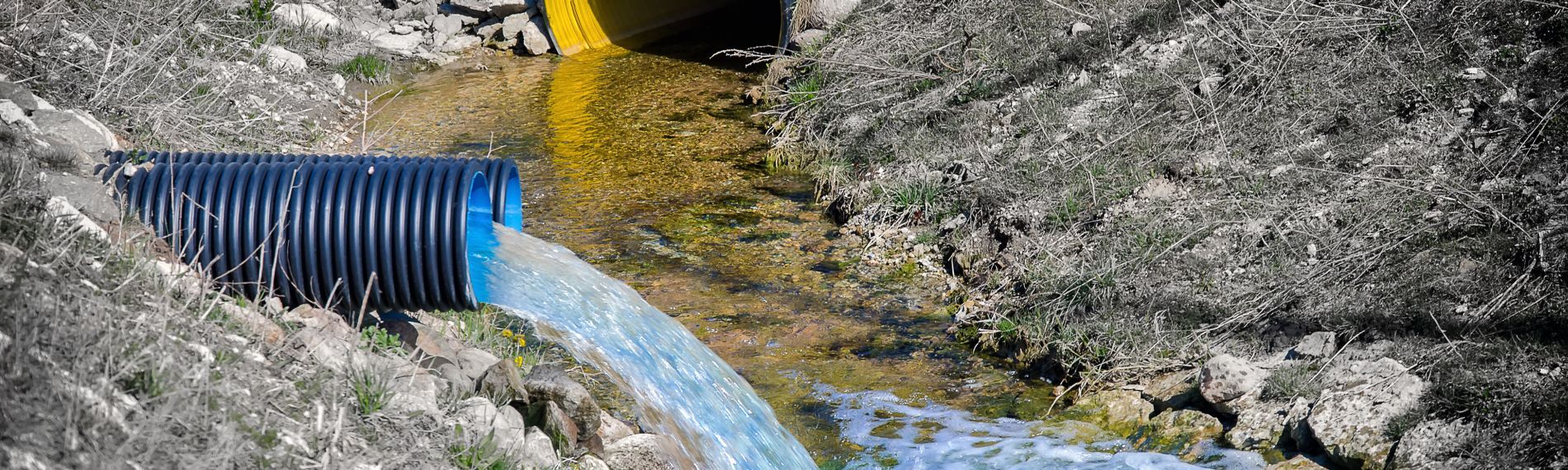
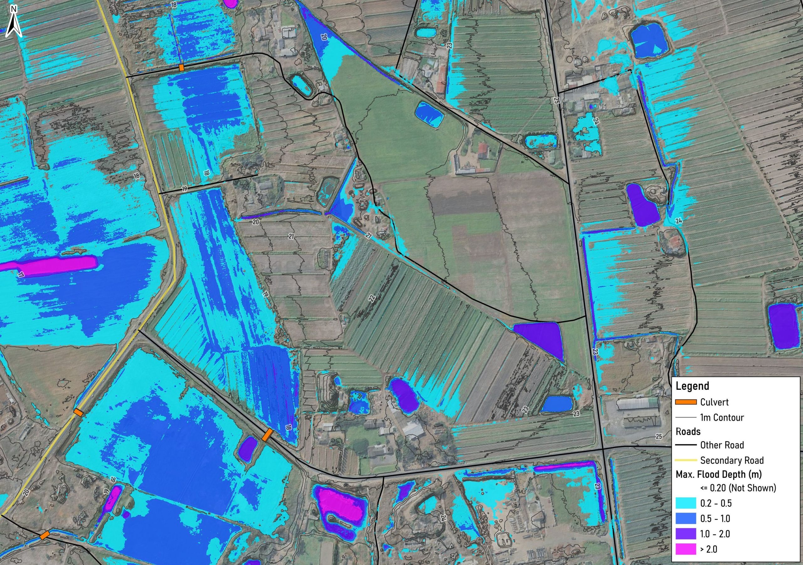
Development and review of 1D, 2D and 1D/2D hydraulic models for fluvial, tidal and surface water flooding investigations, including flood-line delineation.
Reporting on surface water impacts, constraints and opportunities as part of Environmental Impact Assessments (EIAs).
Calculation of Environmental Water Requirements (EWRs) to assess potential utilisation of streamflow.
Storm water management plans designed as per requirements of GN 704 and IFC guidance (where applicable).
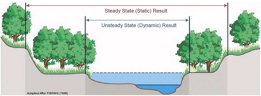
Development and evaluation of dynamic and static water balances.
Water quality monitoring as per authorised or investigative monitoring programs including sampling, analysis and interpretation.
Conceptual design and layout of Sustainable Drainage Systems (SuDS) to enable a low-impact development, mimicking the natural hydrological regime.
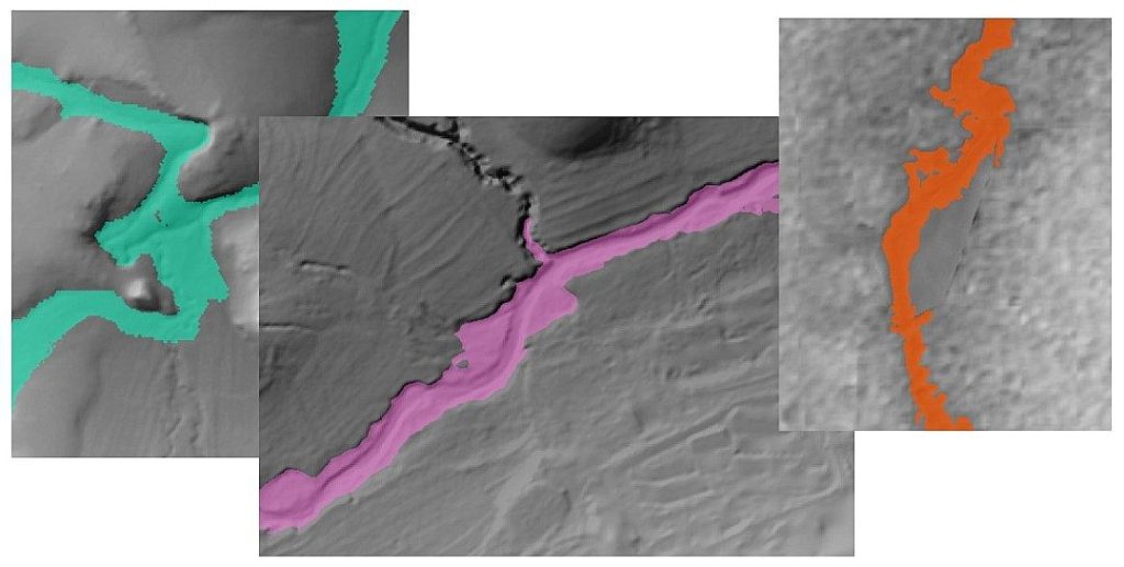
Explore examples of our advanced spatial analysis and data visualization projects. Click to view full resolution images and interactive content.
2D Integrated simulation of the rainfall-runoff process (hydrology and hydraulics within one model)
Coupled modelling in which flood hydrology (design hydrographs) is first estimated, then applied to a 2D hydraulic model
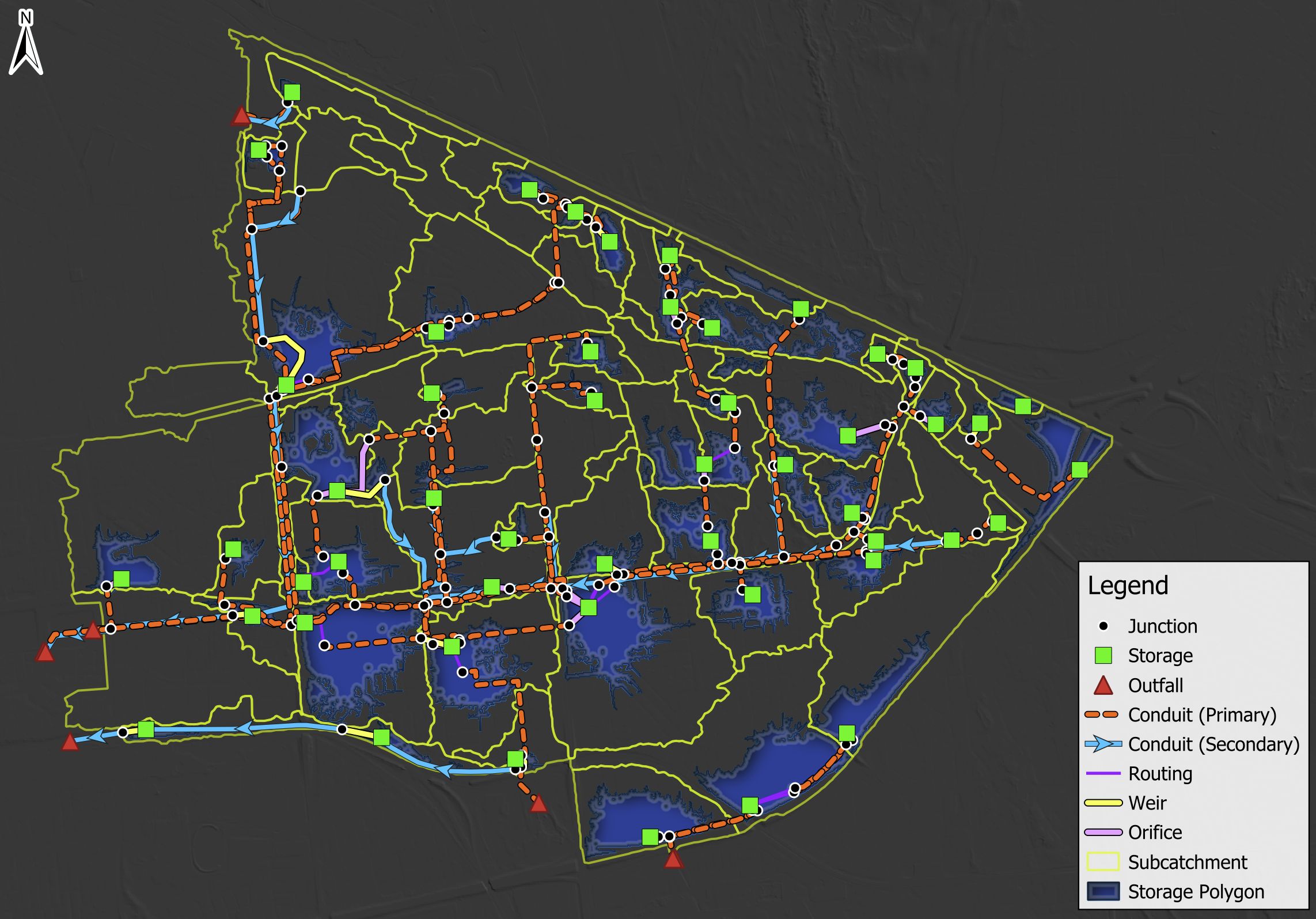
1D modelling of stormwater systems as typically applied to mining, renewable, and urban scenarios
In the previous post (Part 1), the discussion centered around flood hydrology, which is one of two primary components in…
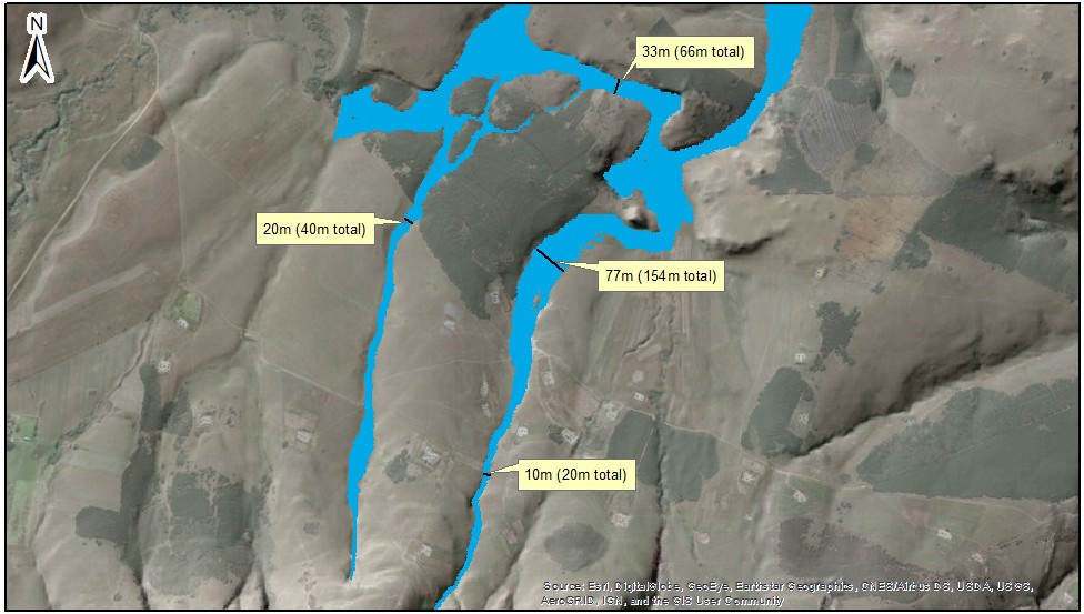
In South Africa, we term the boundary or maximum extent of simulated (or modelled) flooding, flood-lines, which is a common output…
There is often the need to consider the influence of a watercourse (e.g. a river) when starting a new development…

Director
MSc (Hydrology), CSci, CEnv, C.WEM, Pr.Sci.Nat
Mark has over 18 years of experience working as a hydrologist and founded Hydrologic Consulting in 2012.

Environmental Specialist
Bachelor of Arts and Social Sciences (Honours) in Geography and Environmental Studies
Mckennah leads advanced spatial analysis work, combining strong technical skills with a passion for clear, intuitive mapping.

Environmental Specialist
Bachelor of Arts and Social Sciences (Honours) in Geography and Environmental Studies
Beth specialises in GIS workflows, data quality and visual storytelling to support robust hydrological assessments.

Geospatial Specialist
Bachelor of Science in Geomatics
Sheldon focuses on water-related geospatial analysis, ensuring projects are grounded in precise, high-quality spatial data.
"Water is the driving force of all nature." - Leonardo da Vinci